setia geosolution Pioneering Geospatial Services with Over 50 Years of Expertise
With over 50 years of expertise, we have invested in advanced facilities and technology to steer confidently towards the future. Committed to remaining at the forefront of the geospatial sector, our vision is to be a global leader in providing integrated geospatial solutions
Setia Geosolutions sdn bhd
Navigating the Future of Geospatial Solutions through Transforming Spaces into Detailed Maps for Tomorrow
Guided by the expert leadership of Dato’ Sr Syed Mohamad Nasir Syed Tahir and supported by a strong workforce, the firm has expanded from its Kuala Lumpur base to Johor and Pahang, broadening its surveying and mapping services.
Boasting over 50 years of geospatial expertise, Setia Geosolutions is committed to maintaining its edge by evolving with market needs, aiming to achieve its vision of becoming a leading integrated geospatial solutions provider globally.
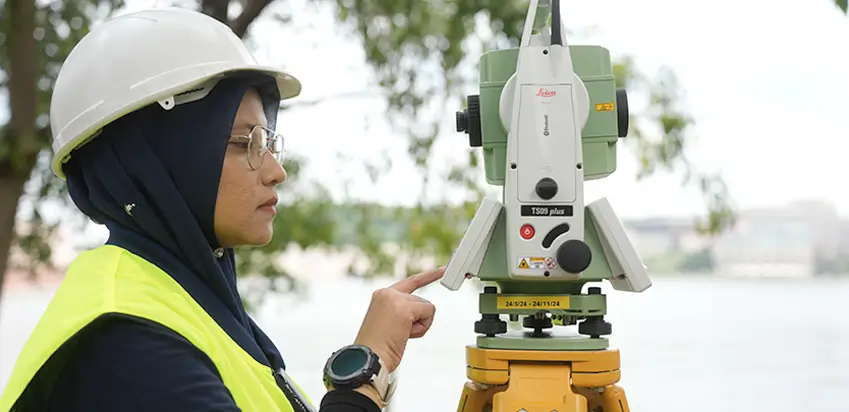
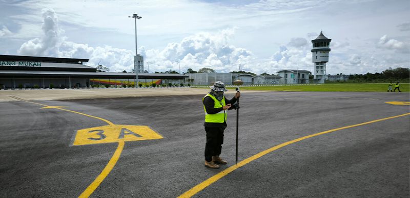
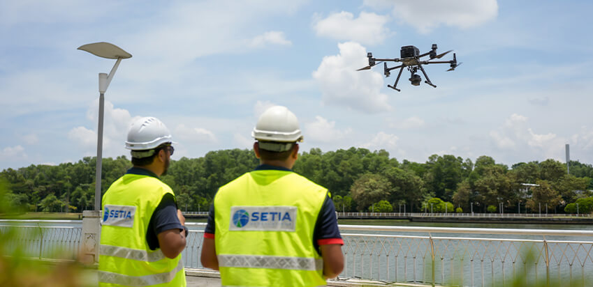
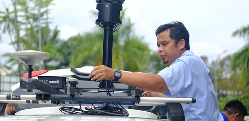
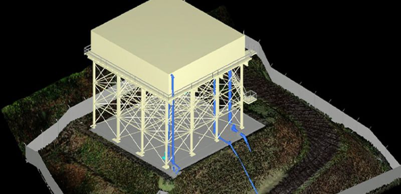
Licensed Land Surveyors & Geospatial Service Company in Malaysia
1st Malaysian firm in its field to earn the ISO 9002 certification from Lloyd’s Register Quality Assurance Ltd (LRQA), we’ve consistently upheld and enhanced our standards, advancing from 9001:2015 in August 2018