Geographic information system (GIS) (also known as Geospatial information systems) are computer software and hardware systems designed to capture, store, manipulate, analyse, and present spatial or geographic data and
manage spatially referenced data.
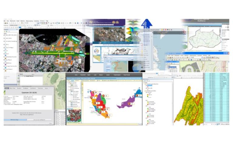
GIS technology combines database, mapping and statistical methods to integrate georeferenced data into visual displays where the relationships, patterns and trends in the data can be more easily identified. This information system displays geographic information for assist in professional decision making. This information system provides cost-savings as it gives greater efficiency, better decision making, improved communication and more comprehensive record keeping.
Kuala Lumpur
Suite L11-21, Tower 1, Wangsa 118, No.8, Jalan Wangsa Delima, Wangsa Maju, 53300, Kuala Lumpur
T :+(6)03-4144 2344
T: +(6)0386878415
F :+(6)03-4144 2644
E: sgskl@setiageosolutions.com
Whatsapp : +(6)0386878415
© 1959 – 2026. Setia Geosolutions Sdn. Bhd. (ISO 9001:2015 Certified Company). All Right Reserved
No.152A, Jalan Tasek Timur,
Pusat Perdagangan Tasek Indra,
31400 Ipoh, Perak Darul Ridzuan