
A topographic survey is a detailed land measurement process that maps the natural and man-made features of a site. It captures critical data such as:
Unlike basic boundary surveys, a topographic survey provides a comprehensive visual representation of the land, helping stakeholders make informed decisions before development begins.
A topographic survey plays a crucial role in ensuring accuracy, safety, and efficiency in any land-based project.
A professional topographic survey typically delivers:
Shows the shape and slope of the land, essential for grading and drainage design.
Includes buildings, fences, roads, and pavements.
Trees, rivers, slopes, and terrain variations.
Above-ground and underground utilities such as:
Provided in formats such as:
Topographic surveys are widely used across multiple industries due to their versatility and precision.
More Information may refer :
More Information may refer :
More Information may refer :
More Information may refer :

More Information may refer :

You should consider a topographic survey when:
The process combines advanced technology with professional surveying expertise.
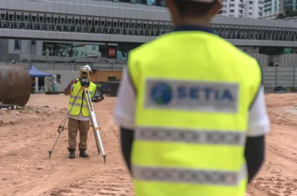
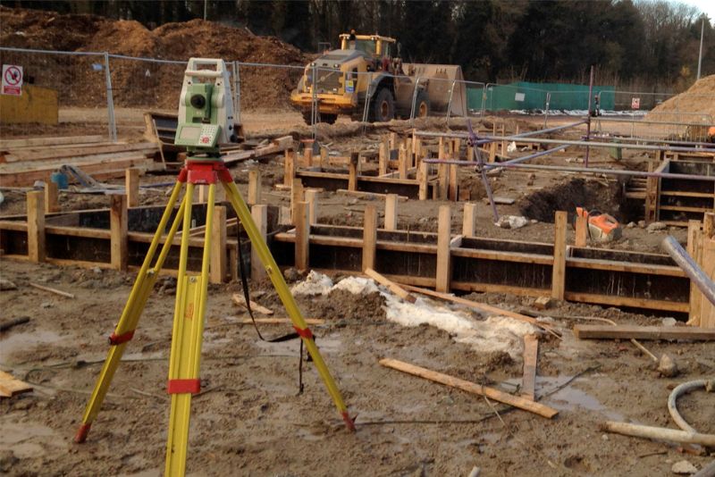
Surveyors evaluate the site and determine the scope of work.
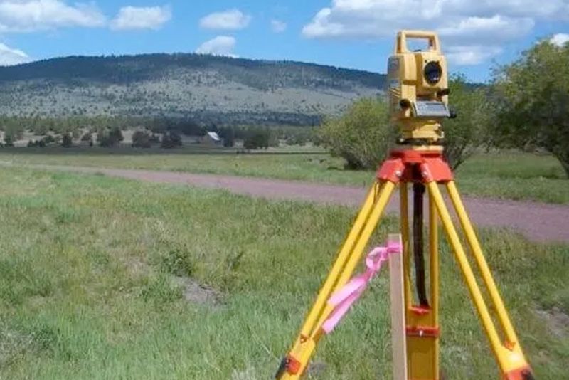
Using modern equipment such as:
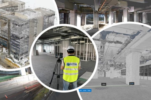
Collected data is processed into accurate digital models and drawings.
Clients receive detailed maps, CAD files, or 3D models for project use.
Modern surveying has evolved significantly with the integration of advanced tools.
These technologies improve accuracy, efficiency, and turnaround time, making topographic surveys more reliable than ever.
| Survey Type | Purpose |
|---|---|
| Topographic Survey | Maps terrain, features, and elevations |
| Boundary Survey | Defines property lines |
| As-Built Survey | Records completed construction |
| Engineering Survey | Supports infrastructure design |
A topographic survey is often the foundation for all other survey types.
To ensure high-quality results, consider:
A reliable provider ensures your project starts with accurate, actionable data.
A topographic survey is an essential first step for any successful land development or construction project. By providing detailed insights into terrain, structures, and site conditions, it enables better planning, reduces risks, and improves overall project outcomes.
Whether you are an engineer, developer, architect, or landowner, investing in a professional topographic survey ensures your decisions are based on precision and reliability.
If you are planning a project and need accurate land data, our team is ready to assist. Contact us today to learn more about our topographic survey services and discover how we can support your project with precise and reliable solutions.
Topographic survey services map the exact elevation, contours, and physical features of a piece of land, including both natural terrain and man-made structures. Property developers, civil engineers, and architects require these surveys during the pre-design stage of construction, infrastructure planning, and drainage design to ensure accurate project modeling and prevent unexpected terrain issues.
The cost of topographic survey services depends on several factors, including the size of the land, the density of the vegetation or existing structures, and the terrain’s complexity. At Setia Geosolutions, we provide tailored quotes based on your specific project requirements and the advanced surveying technology (such as drones or 3D laser scanners) required for the job.
Upon completion of our topographic survey services, you will receive highly accurate digital outputs matching your project’s technical needs. This typically includes detailed 2D CAD drawings, contour maps, elevation data profiles, and, if requested, comprehensive 3D models or GIS data integration for your engineering and design teams.
The timeline varies by project scale. A small, clear commercial or residential site can often be surveyed in a few days, while larger infrastructure or remote land projects take longer. By utilizing modern equipment like UAV drone mapping and GPS/GNSS systems, we optimize our field workflows to deliver accurate data within your project schedule.
Hiring an experienced engineering and geospatial surveying firm ensures that your data complies with local development guidelines and regulatory planning approvals. Precise data prevents costly structural and design errors during construction, protecting your investment from issues like poor drainage or inaccurate grading.
Contact us today and get the assistance you need promptly.
Cadastral Survey
Aerial Mapping Survey
Engineering Survey
Hydrographic Survey
Underground Utilities
Detection & Mapping
Geographical Infomation System (GIS)
Terrestrial Laser Scanning
Mobile Mapping System (MMS)
Building Information Modelling (BIM)
3D Laser Scanning Services
As-Built Survey Services
Topographical Survey
Kuala Lumpur
Suite L11-21, Tower 1, Wangsa 118, No.8, Jalan Wangsa Delima, Wangsa Maju, 53300, Kuala Lumpur
T :+(6)03-4144 2344
T: +(6)0386878415
F :+(6)03-4144 2644
E: sgskl@setiageosolutions.com
Whatsapp : +(6)0386878415
© 1959 – 2026. Setia Geosolutions Sdn. Bhd. (ISO 9001:2015 Certified Company). All Right Reserved | Powered by keepdesign
No.152A, Jalan Tasek Timur,
Pusat Perdagangan Tasek Indra,
31400 Ipoh, Perak Darul Ridzuan