Setia Geosolutions: Leading with Vision, Guiding with Integrity” embodies our commitment to delivering pioneering geosolutions while upholding the highest ethical standards. We focus on clear strategic goals and transparent practices, ensuring trust and excellence in every project

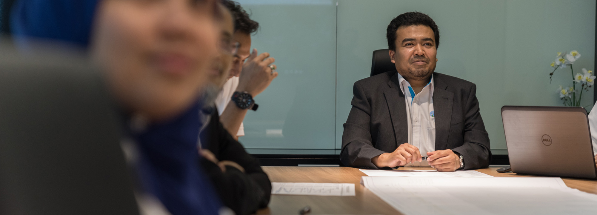
Sr Mohamad Kamali started his career as a Land Surveyor at Department of Survey and Mapping Malaysia in 1983. Sr Mohamad Kamali holds a Bachelor Degree of Science in Survey (Land) from University Technology of Malaysia (UTM) in 1983 and later pursuing his Professional Master Degree in Geoinformatics from International Institute of Aerospace and Earth Sciences (ITC), the Netherlands in 1997.
He has served at various JUPEM’s HQ divisions as well as at the states level. He has more than 35 years experiences in policy and technical matters that among others involving projects management, cadaster, mapping, GIS and NSDI. From 1998 to 2005, He was among a few anchor persons who responsible in the establishment and implementation of Malaysian Geospatial Data Infrastructure (MyGDI) i.e the platform for geospatial data sharing among the government agencies in the country. That is why he has also been actively involved in geoinformation standard development at the national and international levels in order to ensure that the geospatial data sharing activity can be realized.
Sr Mohamad Kamali played very important roles in the sovereignty of the country when he has been assigned to a various level of committees for the International Land Boundary with the neighbouring countries. He has served as JUPEM’s Deputy Director General and became the Deputy Chairman of the Land Surveyors Board Malaysia from 2017 until 2019. He is actively participating in the professional involvement including the Royal Institution of Surveyors Malaysia (RISM) Council and fellow member at the national level. Further than that, at the international geomatics / geoinformatics arena, he represented the country to the various organisations including UN-GGIM, UNGEGN, ISPRS as well as ISO/TC211.
Cadastral Survey
Aerial Mapping Survey
Engineering Survey
Hydrographic Survey
Underground Utilities
Detection & Mapping
Geographical Infomation System (GIS)
Terrestrial Laser Scanning
Mobile Mapping System (MMS)
Building Information Modelling (BIM)
3D Laser Scanning Services
As-Built Survey Services
Topographical Survey
Kuala Lumpur
Suite L11-21, Tower 1, Wangsa 118, No.8, Jalan Wangsa Delima, Wangsa Maju, 53300, Kuala Lumpur
T :+(6)03-4144 2344
T: +(6)0386878415
F :+(6)03-4144 2644
E: sgskl@setiageosolutions.com
Whatsapp : +(6)0386878415
© 1959 – 2026. Setia Geosolutions Sdn. Bhd. (ISO 9001:2015 Certified Company). All Right Reserved | Powered by keepdesign
No.152A, Jalan Tasek Timur,
Pusat Perdagangan Tasek Indra,
31400 Ipoh, Perak Darul Ridzuan