
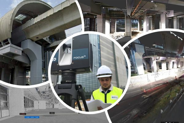
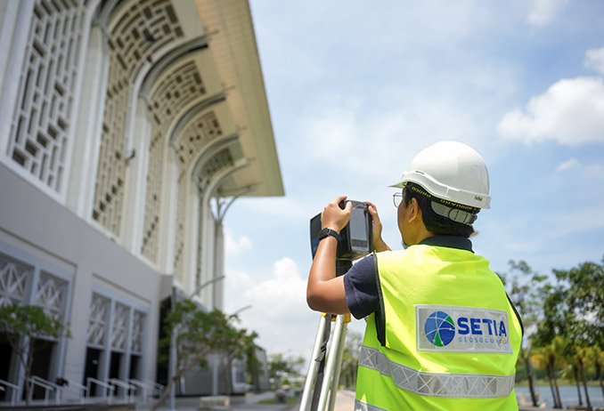
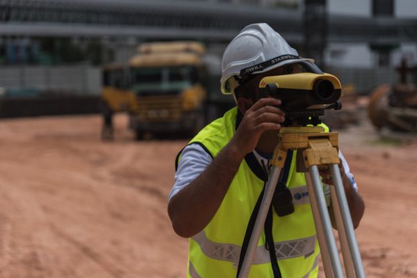
Delivering high-precision 3D laser scanning services in Malaysia for construction, engineering, manufacturing, and asset management projects. We capture accurate spatial data using advanced laser scanning technology, transforming real-world environments into detailed digital models for analysis, design, and documentation.
Whether you require as-built drawings, BIM modelling, or industrial plant scanning, our solutions ensure speed, accuracy, and reliability across every stage of your project.
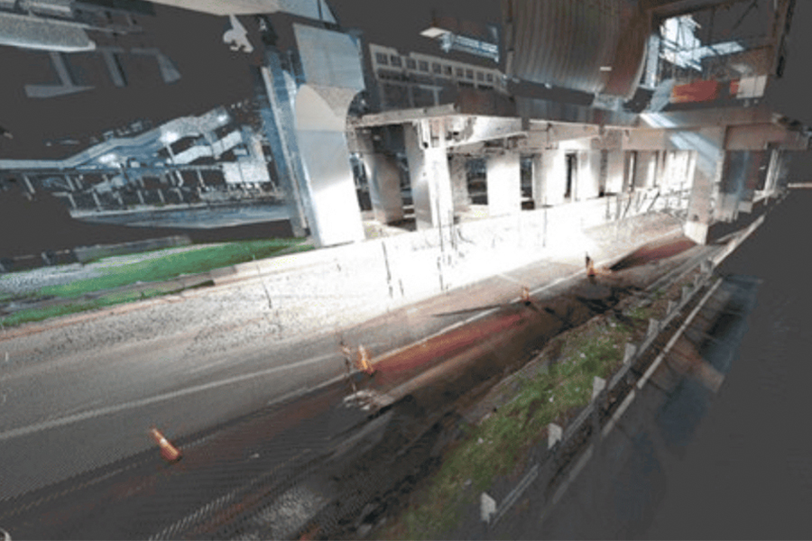
3D laser scanning is an advanced geospatial technology used to capture real-world environments in high detail. Using laser-based measurements, we generate precise point cloud data that can be converted into:
This technology enhances traditional surveying by providing faster, safer, and more comprehensive data collection.
More information may refer : Engineering Survey
More information may refer : Engineering Survey
More information may refer : What Is an As-Built Survey? A Complete Guide for Property Owners in Malaysia,

More information may refer : Property and Infrastructure
More information may refer : Utility
More information may refer : Engineering Survey
Capture millions of data points with millimetre-level precision.
Reduce site visits and manual measurements.
Minimise rework, errors, and project delays.
Limit the need for physical access to hazardous environments.
Enable data-driven decisions with reliable digital models.
Our 3D laser scanning services in Malaysia support a wide range of sectors:
Setia Geosolutions has been delivering precision geospatial services in Malaysia since 1959. As an ISO 9001:2015 certified company, we combine decades of field experience with advanced laser scanning technology to deliver results that meet strict engineering and regulatory standards.
| Feature | 3D Laser Scanning | Traditional Survey |
|---|---|---|
| Data Detail | Highly detailed point clouds | Limited data points |
| Speed | Fast data collection | Slower process |
| Accuracy | High precision | Moderate |
| Coverage | Full environment capture | Selective measurements |
| Integration | BIM, GIS, CAD ready | Limited integration |
Provide your project location, site size, required deliverables (CAD, BIM, or 3D model), and timeline. This allows the service provider to prepare an accurate and customised quotation.
LiDAR is used for large-scale mapping like terrain or aerial surveys. 3D laser scanning is used for detailed measurements of buildings and structures.
For simple projects, traditional methods may be sufficient. However, laser scanning is beneficial if accuracy, speed, or future digital modelling is important.
Yes, it is ideal for renovations, as it captures accurate existing conditions, helping avoid design conflicts and unexpected issues.
If your project involves complexity, precision, or digital modelling, laser scanning is a strong option. A consultation can help determine suitability.
Looking for accurate and reliable 3D Laser Scanning Services in Malaysia? Our team is ready to support your project with precise data and efficient solutions.
👉 Get in touch with us today to discuss your requirements or request a quotation.
Contact us today and get the assistance you need promptly.
Cadastral Survey
Aerial Mapping Survey
Engineering Survey
Hydrographic Survey
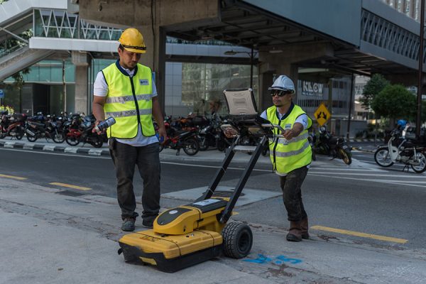
Underground Utilities
Detection & Mapping
Geographical Infomation System (GIS)
Terrestrial Laser Scanning
Mobile Mapping System (MMS)
Building Information Modelling (BIM)
3D Laser Scanning Services
As-Built Survey Services
Topographical Survey
Kuala Lumpur
Suite L11-21, Tower 1, Wangsa 118, No.8, Jalan Wangsa Delima, Wangsa Maju, 53300, Kuala Lumpur
T :+(6)03-4144 2344
T: +(6)0386878415
F :+(6)03-4144 2644
E: sgskl@setiageosolutions.com
Whatsapp : +(6)0386878415
© 1959 – 2026. Setia Geosolutions Sdn. Bhd. (ISO 9001:2015 Certified Company). All Right Reserved | Powered by keepdesign
No.152A, Jalan Tasek Timur,
Pusat Perdagangan Tasek Indra,
31400 Ipoh, Perak Darul Ridzuan