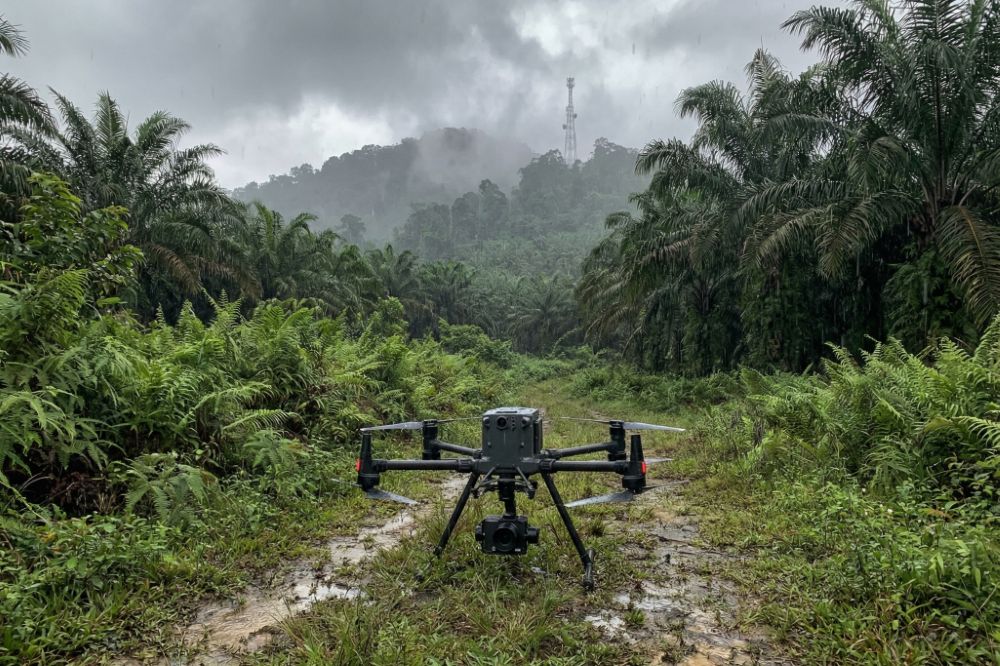
Common Challenges in UAV Mapping Projects (and How to Overcome Them) While UAV mapping offers significant advantages in speed, efficiency, and data accuracy, it is not without its challenges. In real world applications, many projects face issues that can affect…
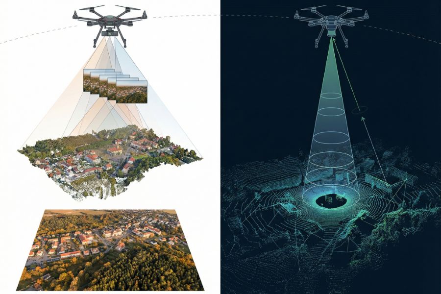
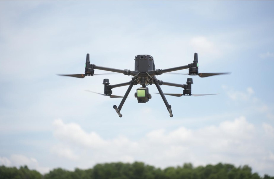
Types of UAV Mapping: Photogrammetry vs LiDAR As UAV mapping becomes a critical tool across industries such as construction, surveying, mining, and environmental monitoring, choosing the right mapping technology is no longer optional. It is a strategic decision that directly…
UAV Mapping Accuracy: What Affects Precision? When it comes to UAV mapping, accuracy is not just a technical metric, it’s the foundation of reliable decision making. Whether you’re conducting land surveys, managing construction projects, or analysing terrain data, even minor…
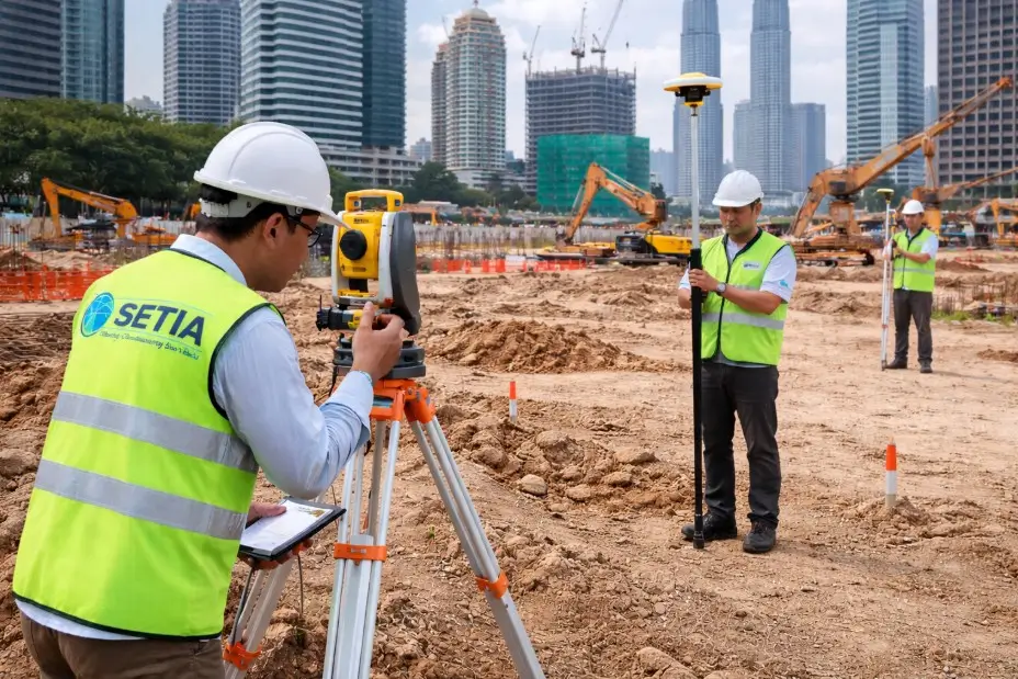
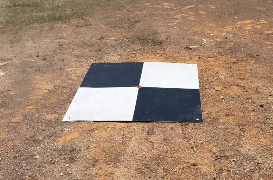
What Is Ground Control Point (GCP) in UAV Mapping? In any professional UAV mapping project, accuracy is everything. Whether you’re surveying land, monitoring construction progress, or generating 3D models, even small positional errors can lead to costly mistakes. This is…
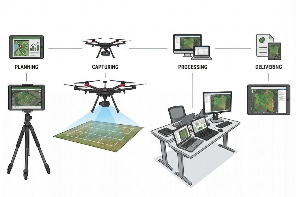
UAV Mapping Workflow: From Flight Planning to Data Output In any successful UAV mapping project, the final accuracy and usefulness of the data are determined long before the drone even takes off. Behind every high quality orthomosaic map or 3D…
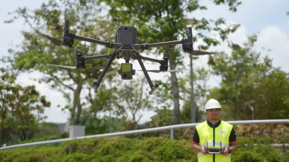
UAV Mapping in Malaysia: A Complete Guide for Construction, Engineering & Development As construction and infrastructure projects in Malaysia become larger and more complex, the demand for faster, safer, and more accurate data collection has increased. UAV mapping—also known as…