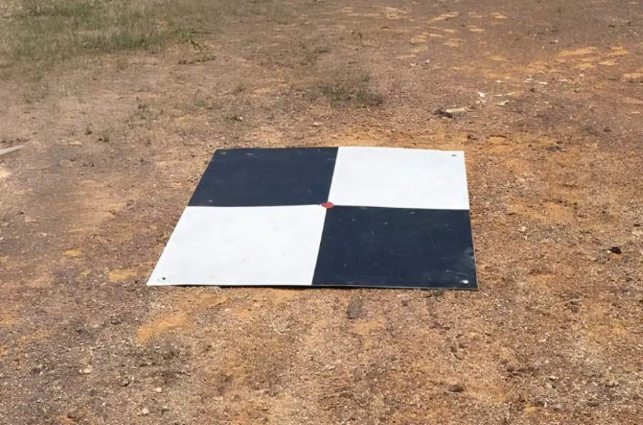
What Is Ground Control Point (GCP) in UAV Mapping? In any professional UAV mapping project, accuracy is everything. Whether you’re surveying land, monitoring construction progress, or generating 3D models, even small positional errors can lead to costly mistakes. This is…
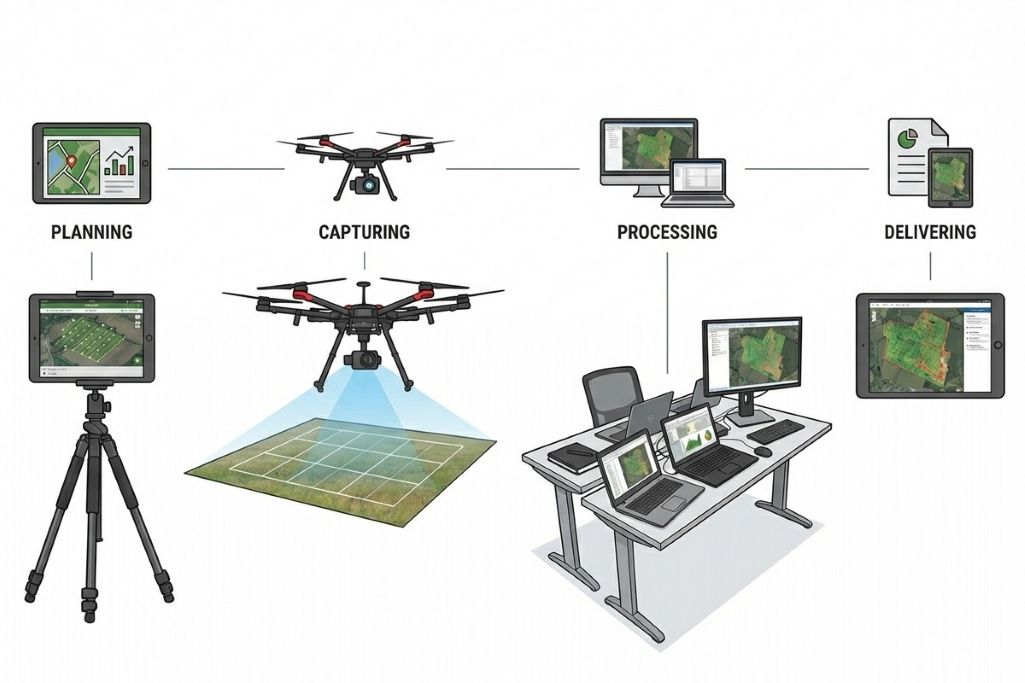
UAV Mapping Workflow: From Flight Planning to Data Output In any successful UAV mapping project, the final accuracy and usefulness of the data are determined long before the drone even takes off. Behind every high quality orthomosaic map or 3D…
UAV Mapping in Malaysia: A Complete Guide for Construction, Engineering & Development UAV mapping — or drone mapping — has become one of the most important tools in Malaysia’s construction, engineering, and land survey industries. Where traditional ground surveys once…