Dive into a world where accurate information meets insightful analysis, giving you everything you need to stay informed about the issues that matter most to you. Furthermore stay connected with the world around you through our news service, where clarity and relevance are our priority. With real-time updates and expert perspectives, you can rely on us to keep you equipped with knowledge.
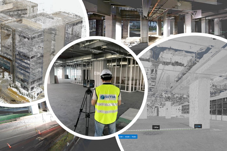
3D Modelling for Interior and Exterior Planning The ways that you can plan to ensured your home, building or industrial structure is meeting…
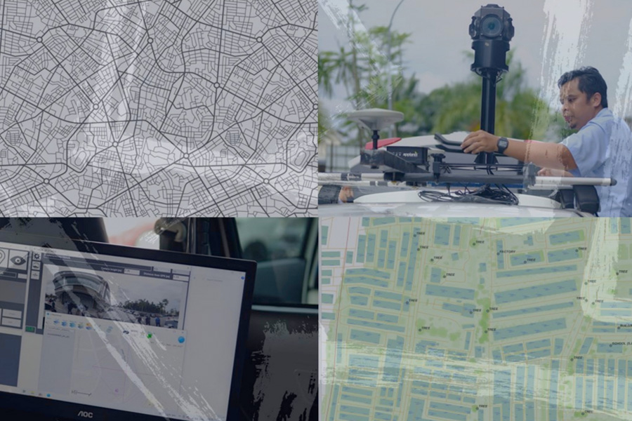
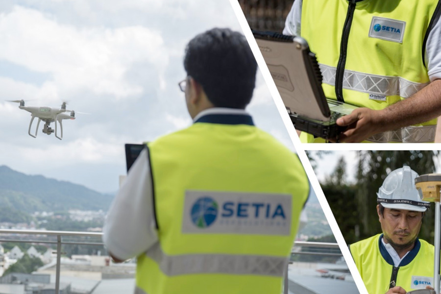
Aerial Mapping and GIS Application for Solar Farm Site Selection Using Geospatial Technologies, Data Integration In Assisting For Site Selection…
What is Land Surveying? Land surveying is a technique to map a particular area for development or analysis. Land surveys are performed to determine a…
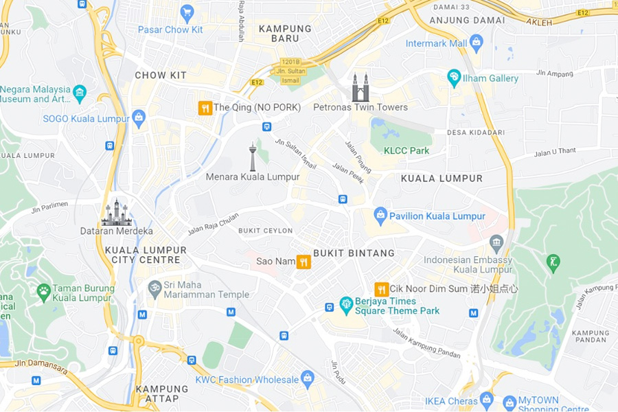
Geospatial data is information that describes objects, events or other features that have a physical position on or near the earth’s surface…
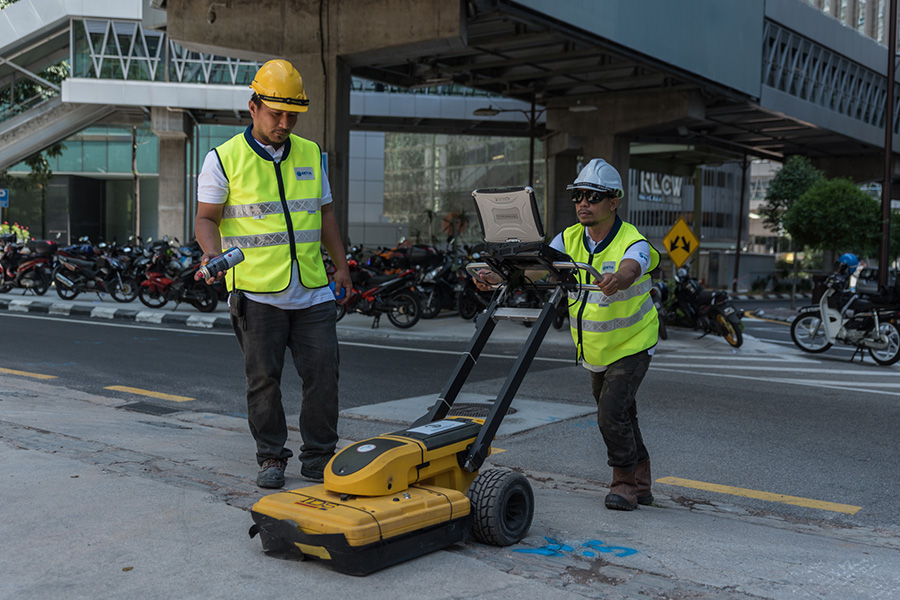
What is Underground Utility Mapping (UUM)? Survey using geophysical techniques to create a digital representation of underneath features…
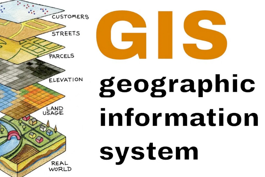
What is Geographic Information Systems (GIS)? A Geographic Information System (GIS) can be defined as a computer system that analyzes the data …
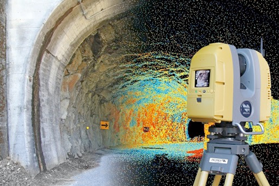
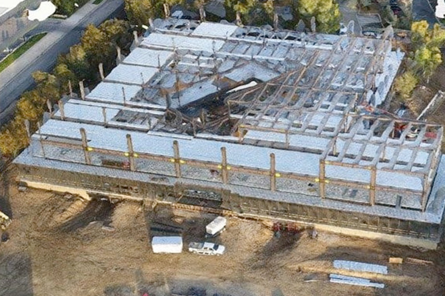
What is UAV Mapping? An unmanned Aerial Vehicle (UAV), commonly known as a drone is an aircraft that flies without a human pilot, crew or passengers on board.UAV is part…
Kuala Lumpur
Suite L11-21, Tower 1, Wangsa 118, No.8, Jalan Wangsa Delima, Wangsa Maju, 53300, Kuala Lumpur
T :+(6)03-4144 2344
T: +(6)0386878415
F :+(6)03-4144 2644
E: sgskl@setiageosolutions.com
Whatsapp : +(6)0386878415
© 1959 – 2026. Setia Geosolutions Sdn. Bhd. (ISO 9001:2015 Certified Company). All Right Reserved
No.152A, Jalan Tasek Timur,
Pusat Perdagangan Tasek Indra,
31400 Ipoh, Perak Darul Ridzuan